Yesterday, December 19th, the weather forecast predicted a break in the recent storm cycle on the South Coast and five of us headed to Coquihalla area which is best known for the Coquihalla Highway (between Hope and Merritt, in BC).
The trip was special for me because the timing of my and John’s schedules finally collided and I was able to get a touring day alongside someone that introduced me to Canadian mountains (via his guide book), and through his projects inspires me to find and define my own ski touring goals and dreams.
The day – weather, snow, skiing and avalanches
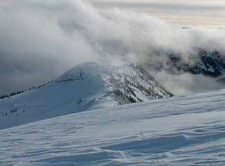
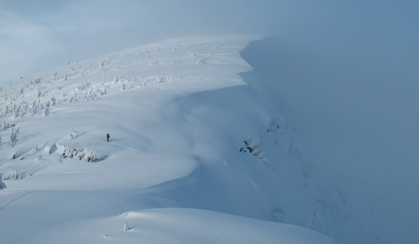
Alpaca Peak (2040m) is a full day ski touring trip that follows about 4-5 kilometers long ridge, over Zupjok Peak and Llama Peak. Access to the ridge is via a logging road and steep trees.
All that means that trip is doable in almost any avalanche conditions and the views are spectacular.
However, in the fog the navigation on the ridge can be very tricky. You can find the trip in John’s book “Exploring the Coast Mountains on Skis” on page 198 under “Alpaca Peak”.
Weather
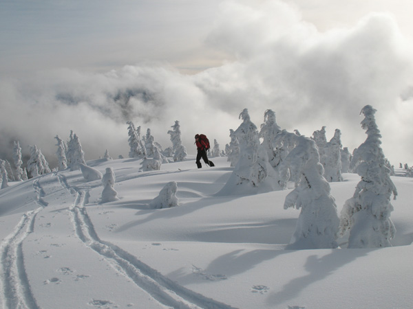
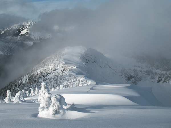
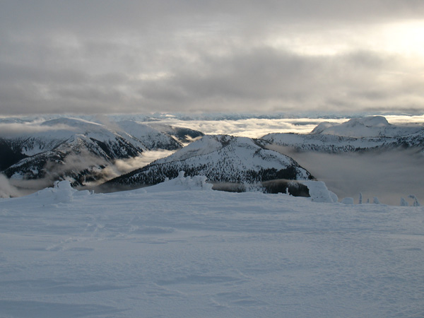
Whole day, the weather wasn’t a blue bird as we got treated to something better – rolling clouds in multiple layers with occasional sunny breaks replacing fog clouds. This provided for excellent photo opportunities.
Temperatures were quite warm all day and most likely above zero Celsius up to about 1600-1700m.
Snow and skiing
The weather on the South Coast was pretty warm and wet for past couple of days. Therefore the snow conditions for skiing were a bit…miserable.
Alpine areas were either heavily wind affected or with a thick rain crust on the top, or both. Inside and below the tree line, the snow was heavy and mostly wet.
Depth of the snow pack was sufficient for good traveling conditions even at the lowest elevations (around 1200m) and in the forest.
Snow and avalanches
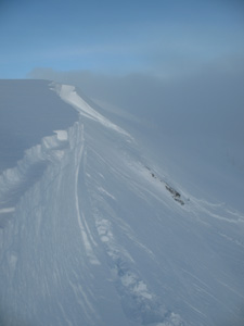
By walking on a ridge, about 5-7m from the edge of a cornice, our party remote triggered a cornice fall twice (just couple of meters apart) that then triggered an avalanche on the slope below it. Both were about 100m wide and run to the below basin, about 100m down. Through the fog cloud, the size of both avalanches appeared to be about 2-2.5.
During the day we didn’t witness any other avalanches going off, however, we observed slabs at many locations, on all kinds of aspects and at almost all elevations.
Interview with John Baldwin and trip photos
I and John are working on an interview for the SkinTrack website. Part of the interview will be a little contest for you where you can win the latest edition of John’s guide book. So make sure to check back soon.
Otherwise you can get your copy of “Exploring the Coast Mountains on Skis” guide book from John’s website or pick it up from outdoor stores that are listed on his website.
And here are some photos from the Alpaca Peak trip, outdoor and landscape photographers would have loved the light conditions.


peter says
Nice report on the whole tour! I mean the avalanche and snow conditions etc. Thanks! It’s still a dream for me to come into BC, but hopefully one day 😉